Using Maps in Historical Research Presented by Charlie Grymes
If pictures are worth 1,000 words, maps are worth a million - and Virginia is rich in mapping resources. From John Smith in 1607, through the Census in 2010, people […]
If pictures are worth 1,000 words, maps are worth a million - and Virginia is rich in mapping resources. From John Smith in 1607, through the Census in 2010, people […]
The Friends of the Thomas Balch Library are hosting an afternoon of intrigue, history, and conversation at the Loudoun Heritage Farm Museum. Along with the talk, enjoy food and beverages, raffle drawings, a silent auction. Within Thomas Balch Libary are stories known and unexplored: stories that grow Loudoun and the region’s untapped histories. One such […]
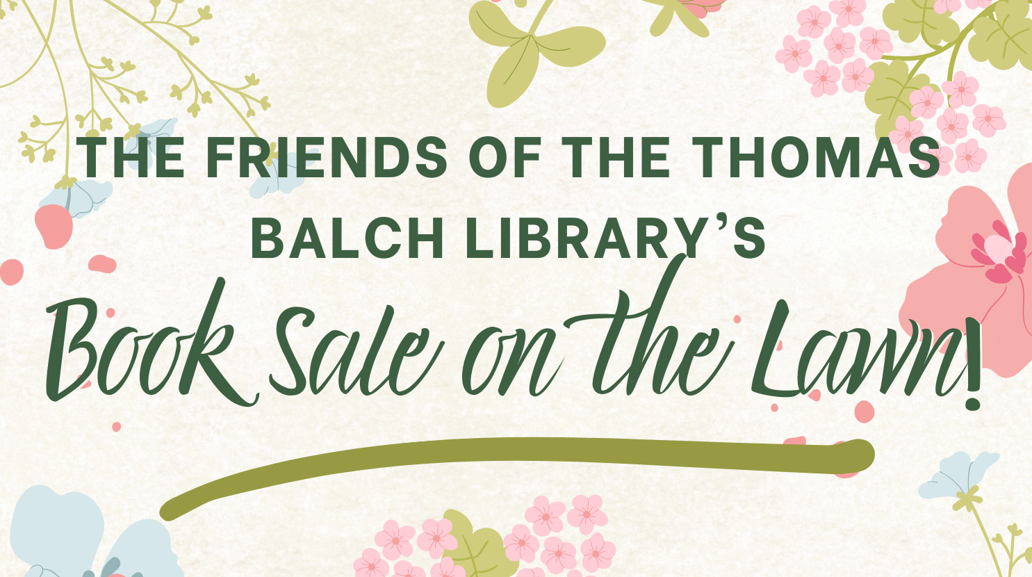
This event is a book sale hosted by the Friends of the Thomas Balch Library, taking place on Saturday, April 26, from 10AM to 2PM. It will be held on […]
Past to Prose An Evening with Authors, Inspired by the Archives Join the Friends of the Thomas Balch Library as we explore the alchemy of historic research and storytelling. Enjoy […]